TAGSCAPE is a project that explores ways of visualizing information about natural landscapes and turning it into innovative maps that will engage the general public and not just the specialist. Our source is not only geo-located data (the position of an object given in latitude and longitude) but also includes perceptual data – people’s feelings about a particular location as well as the value they place on it.
In the future, meaningful maps that reveal the unique character and importance of a particular landscape might influence policy decisions concerning how landscape is protected and managed, as well as how such decisions are communicated to the communities who live there.
This website and the idea behind TAGSCAPE is being developed by me, artist Dominica Williamson, as part of my residency, funded by the Leverhulme Trust, at the School of Geography, Earth and Environmental Sciences, Plymouth University. I will be working in close collaboration with Dr John Martin as well as engaging with other staff and students in the faculty.
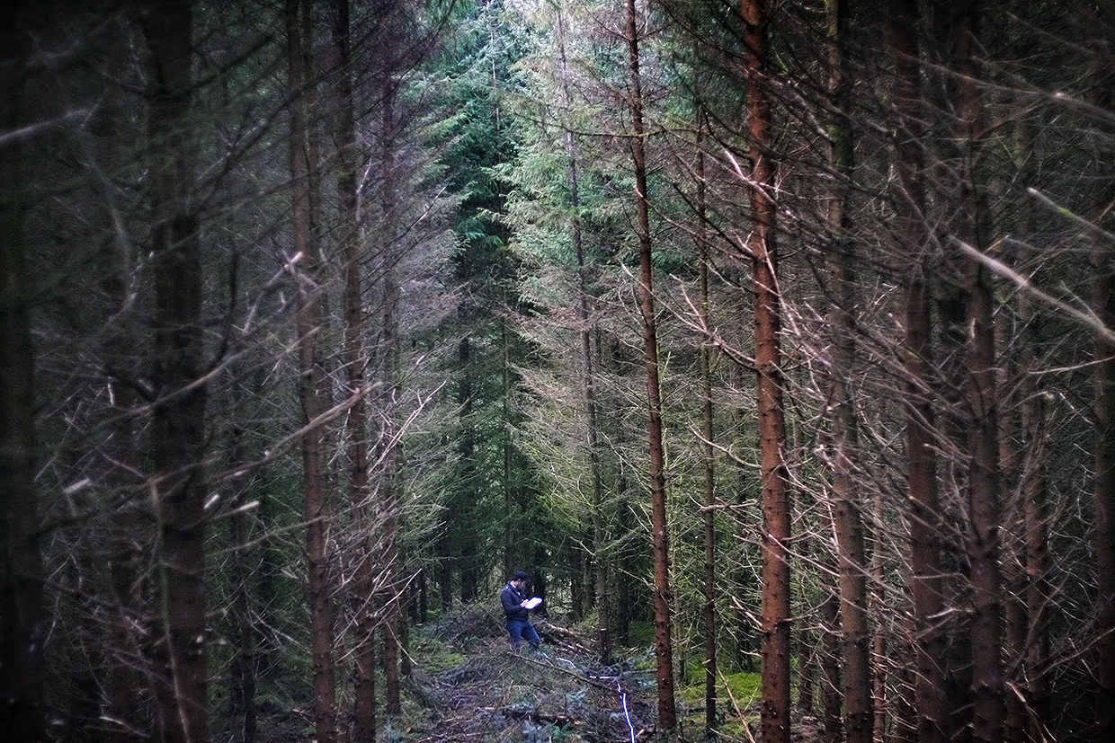
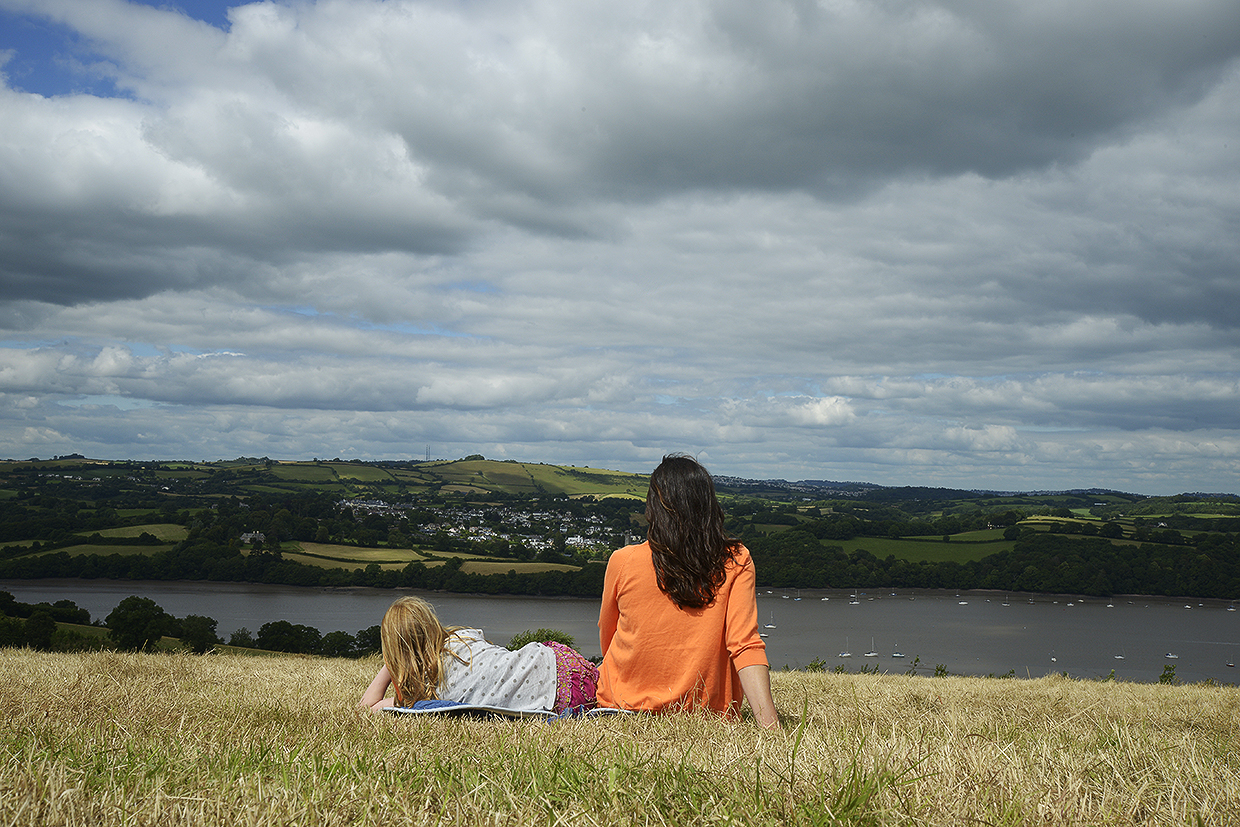
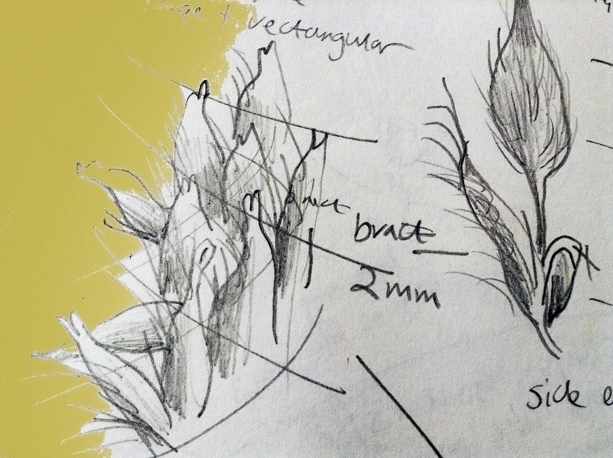
Employing up-to-date mapping technologies and tools to assess the character of a given landscape, I will make drawings and 3D maps with communities using geo-located data and perceptual data. At the end of the residency, large-scale maps of two specific landscapes – from ground level, up through hedgerows, to trees and sky, and including everything from beetles to bats – will be produced and exhibited. Other types of maps will also grow and appear in the West Indian Ocean. The maps will then tour to the locations they describe and be displayed for the public to view.